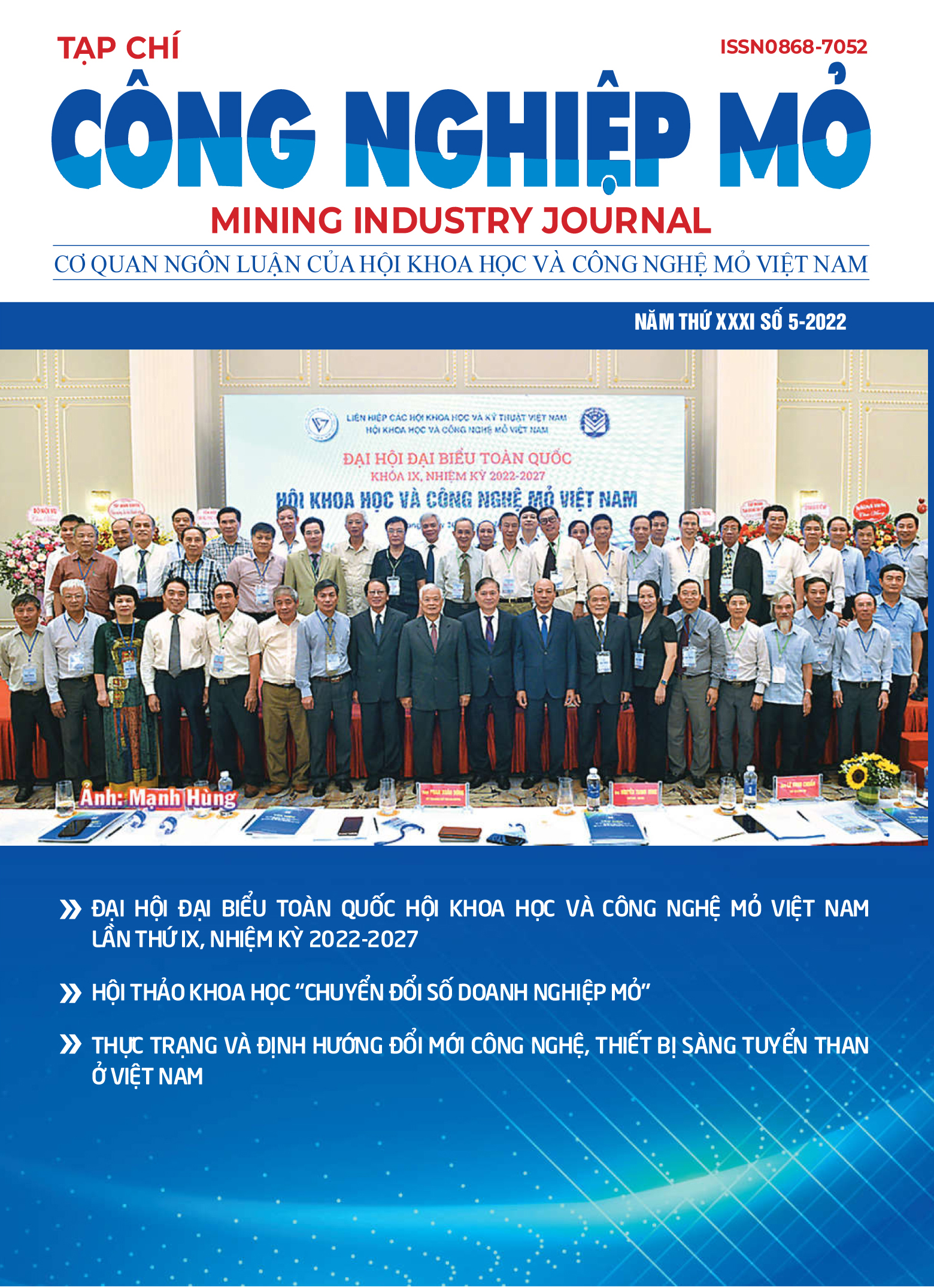
About MIJ
The Mining Industry Journal, under the Vietnam Mining Science and Technology Association, licensed by the Ministry of Culture and Information had published its first issue in 1991 (ISSN 0868-7052). Currently, the Mining Industry Journal is published every 2 months under publishing license number 376/GP-BTTTT dated July 13, 2016 by the Ministry of Information and Communications (ISSN 3030-4172).
Mining Industry Journal is a multidisciplinary scientific journal with closed peer review, specializing in the fields of: Mining; Construction of underground works and mines; Mineral selection and processing; Mechanics, Electricity - Electronics - Automation; Ventilation, Safety and Environmental Protection; Geomechanics, GeoInformatics, Geology, Geodesy; Oil and gas industry; Economics - Management.
At present, the Editorial Board and Editorial Council of the Mining Industry Journal include 23 prestigious scientists with in-depth expertise covering the fields of the Journal. In addition, there are collaborators who are highly qualified and experienced experts at home and abroad. The closed and independent review process is carried out by one or two scientists with the same expertise as the content of the article. The editing and publishing process gradually approaches regional and international standards.
The Mining Industry Journal is considered a traditional scientific journal with a long history of operation, a prestigious scientific and technical forum for domestic and international scientists and engineers to publish and exchange new research results in related fields. The research results published in the journal have attracted the attention of scientists, researchers, technicians, managers, lecturers, postgraduates, graduate students and students domestically and internationally.
Currently, articles published in the Mining Industry Journal have been reviewed and scored for scientific work in many Industry/Interdisciplinary Professor Councils, specifically as follows:
- Interdisciplinary Professorial Council of Earth Sciences - Mining;
- Professorial Council of Mechanics;
- Interdisciplinary Professorial Council of Mechanics - Dynamics;
- Professorial Council of Transport;
- Professorial Council of Metallurgy;
- Interdisciplinary Professorial Council of Electricity - Electronics - Automation;
- Professorial Council of Water Resources;
- Interdisciplinary Professorial Council of Construction - Architecture;
- Professorial Council of Economics.
- Name: Mining Industry Journal
- ISSN: 3030-4172
- Organization: Viet Nam Mining Science and Technology Association
- Field: a multi-disciplinary journal


![Issue 6 [12 - 2025], Year XXXIV - Issue 6 [12 - 2025], Year XXXIV -](/images/tapchi_bia/tbia_2506.jpg)
![Issue 5 [10 - 2025], Year XXXIV - Issue 5 [10 - 2025], Year XXXIV -](/images/tapchi_bia/tbia_2505.jpg)
![Issue 4 [08 - 2025], Year XXXIV - Issue 4 [08 - 2025], Year XXXIV -](/images/tapchi_bia/tbia_2504.jpg)
![Issue 3 [06 - 2025], Year XXXIV - Issue 3 [06 - 2025], Year XXXIV -](/images/tapchi_bia/tbia_2503.jpg)
![Issue 2 [04 - 2025], Year XXXIV - Issue 2 [04 - 2025], Year XXXIV -](/images/tapchi_bia/tbia_2502.jpg)


